|
|
|
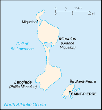
Ruisseau de Cap Sauveur
Weather Ruisseau de Cap Sauveur (Cloud cover, Temperature, Wind speed and Precipitation mm probab.)
Map and Photos Ruisseau de Cap Sauveur
Comments
Add a new comment: |
Members area
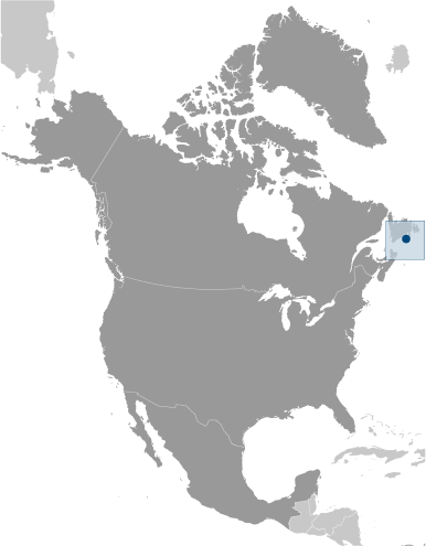
Saint Pierre And Miquelon [ France ] (Overseas Territory):
Advertisement
GPS points near Ruisseau de Cap Sauveur
 Cap Sauveur (0.5km)
Ruisseau de l' Ouest (0.5km)
Le Four (0.5km)
Le Caillou Canadien (0.5km)
Petit Barachois (1 km)
Ruisseau Dupont (1 km)
Anse a Capelan (1 km)
Cap de l' Ouest (1 km)
Plaine des Gaules (1 km)
Petit Barachois (1 km)
Etang de Cuquemel (1 km)
Couline a Franchesse (1 km)
Anse a Couillette (1 km)
Cuquemel (1 km)
La Carcasse (1 km)
Plaine des Gaules (1 km)
Bois a Etienne (2 km)
Cap Sauveur (0.5km)
Ruisseau de l' Ouest (0.5km)
Le Four (0.5km)
Le Caillou Canadien (0.5km)
Petit Barachois (1 km)
Ruisseau Dupont (1 km)
Anse a Capelan (1 km)
Cap de l' Ouest (1 km)
Plaine des Gaules (1 km)
Petit Barachois (1 km)
Etang de Cuquemel (1 km)
Couline a Franchesse (1 km)
Anse a Couillette (1 km)
Cuquemel (1 km)
La Carcasse (1 km)
Plaine des Gaules (1 km)
Bois a Etienne (2 km)
GPS points from Saint Pierre And Miquelon [ France ] (Overseas Territory)
|